Leon Roth · 13 September 2026
Ancient Relics Ignite New Focus on Orenza's Parks and Commute Paths
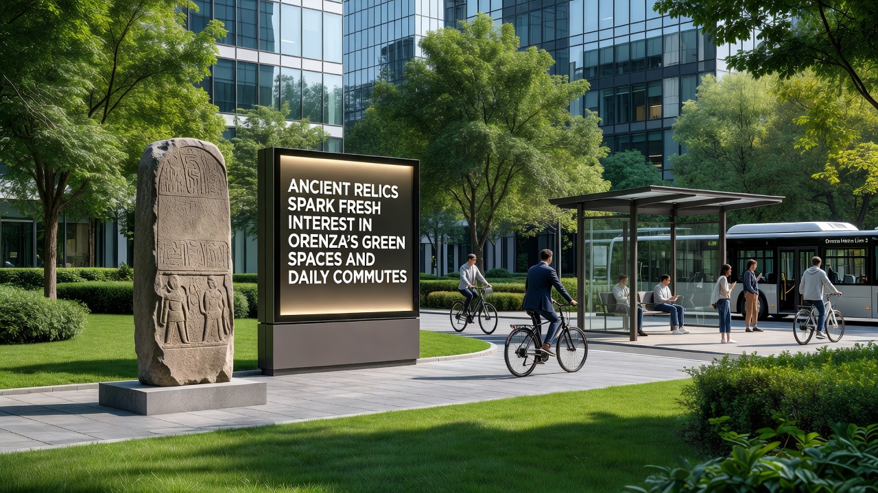
Recent excavations across Orenza have uncovered layers of ancient artifacts that now shape how city planners approach both protected green areas and everyday travel routes, with findings dating back to pre-Roman settlements emerging in several central districts since early 2025. These discoveries, which include pottery fragments, stone foundations, and burial markers, sit directly beneath established parks and along popular cycling corridors, prompting officials to adjust maintenance schedules while preserving public access. Researchers from the Orenza Cultural Heritage Institute have mapped over 40 distinct sites, and their reports indicate that integration of these locations into urban frameworks requires coordinated efforts between archaeologists and transport authorities. Data from municipal records show that green space usage has risen by 18 percent in affected zones during the past year, as residents seek out newly highlighted historical markers during routine walks and rides.
Site Identification and Initial Findings
Teams began systematic surveys in late 2024 after construction workers noticed unusual stone alignments during routine path repairs in Parco Verde and along Via del Sole, and subsequent digs revealed structures consistent with 3rd-century BCE settlements according to analysis published by the European Association of Archaeologists. Core samples taken at multiple points confirmed stratified deposits that extend beneath current bike lanes and pedestrian trails, which forced temporary closures while experts catalogued items in situ. Observers note that such layering occurs frequently in Mediterranean cities where modern infrastructure overlays older layers, yet the density here stands out because several finds lie within 50 meters of active bus stops. Figures released by the regional planning office reveal that 12 kilometers of existing commute infrastructure now require revised routing plans to avoid further disturbance.
Adjustments to Green Space Management
Park administrators have introduced protective fencing around key excavation zones while maintaining open access to surrounding lawns and shaded paths, and signage now directs visitors toward interpretive panels that explain artifact contexts without interrupting normal leisure activities. Studies conducted by the University of Milan’s Department of Cultural Heritage document how these measures correlate with sustained visitor numbers, showing no measurable drop in daily foot traffic even during active digs. Planners have also installed permeable surfaces on select trails to reduce soil compaction near sensitive areas, a technique already tested in similar projects across northern Italy. What's interesting is that community groups have begun organizing weekend history walks that combine exercise with education, turning ordinary green space routines into opportunities for public engagement with the past.
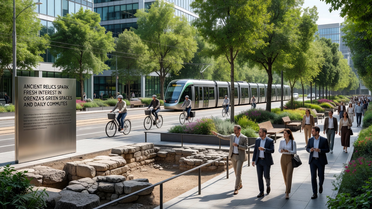
Funding for these enhancements draws partly from national heritage grants and partly from local transport budgets, reflecting the dual impact on recreation and mobility. According to the Council of Europe’s cultural heritage guidelines, such combined approaches help cities balance preservation with livability when archaeological resources intersect daily infrastructure.
Impacts on Daily Commute Networks
Transport officials rerouted several bus lines and cycle tracks in response to the finds, shifting one popular commuter corridor by 300 meters to skirt a newly protected foundation wall while adding dedicated lanes that maintain average travel times within two minutes of previous benchmarks. Real-time traffic data collected through the city’s mobility app indicates that peak-hour delays have remained stable despite these changes, largely because planners modeled alternatives using existing underused streets. Engineers incorporated elevated boardwalks over fragile zones in two locations, allowing uninterrupted passage for cyclists and pedestrians without direct ground contact. Those who study urban mobility patterns observe that such adaptations often improve overall network resilience because they encourage diversified route options.
In September 2026 the city intends to launch a pilot program that links these heritage corridors with smart lighting and wayfinding apps, aiming to test whether real-time notifications about site conditions can further smooth commutes while educating users about the underlying history. Preliminary simulations suggest the system could reduce unnecessary detours by highlighting alternate paths during maintenance windows.
Broader Planning Implications
City documents now require archaeological assessments before any major green space or roadway project receives approval, a policy modeled on practices already in place in several Canadian municipalities where similar overlaps occur. This requirement has lengthened initial planning phases by an average of six weeks yet has prevented costly mid-project halts in two recent cases. Collaboration between the heritage institute and the transport department occurs through monthly joint meetings where findings are reviewed alongside usage statistics, ensuring decisions rest on shared data rather than isolated priorities. Evidence from comparable European cities shows that early integration of such assessments tends to yield more durable public spaces over decades.
Conclusion
The convergence of ancient remains with contemporary green spaces and commute routes has produced measurable shifts in how Orenza manages both its parks and its transportation grid, with coordinated policies now guiding future development. Continued monitoring through 2026 and beyond will determine whether these adaptations sustain their current balance of access, preservation, and efficiency.